Video meetings on a live map
Be on site without the drive.
Your crew’s live video and photos appear on one shared map, exactly where they’re taken. The office sees what’s happening, and where, and decides on the call.
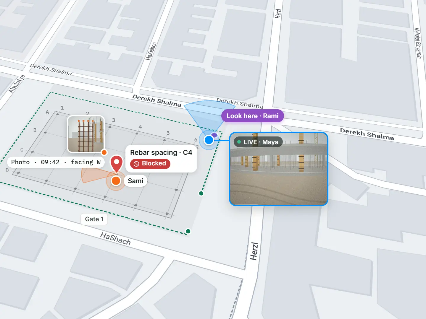

- HD video calls, plus live video on the map
- One link or a QR at the gate. Guests join with their name.
- Signal drops? Nothing you mark on the map gets lost.
Before TerraMeet
“No, the other gate.”
Video calls show faces, not places. So every site call starts with directions.
Directions
Ten minutes of “left of the…” for a ten-second decision.
Photos without a place
Forty pictures in a chat thread. Where was this one taken?
The drive
Two hours on the road for a five-minute look.
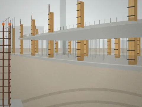
Three everyday fragments: a long voice note, a photo with no location, and a two-hour drive.
TerraMeet replaces all three with one link.
Video
Live video, right where it’s filmed.
Every meeting app has video. TerraMeet also shows where it’s coming from.

HD voice and video
Crystal-clear calls from any browser, on a laptop or a phone.
Live field video on the map
Turn on your phone camera. Your video appears on the map, exactly where you stand, facing where you look.
Site cameras
Fixed cameras too: place them on the map once, watch them in any meeting.
Live map
The meeting room is the map.
One live map, with a dot for everyone on site. Three gestures replace ten minutes of directions.
Look here
Tap a spot. It pulses on every screen.
Follow
Tap Follow on Maya and walk the site with her.
Present my view
Bring everyone to what you see.

Three map tiles showing Look here, Follow and Present my view.
Field capture
Photos that know where they were taken.
Everything you capture goes on the map, in front of everyone on the call.
Right spot, right direction
Each photo sits exactly where it was taken, facing the same way.
Pins become tasks
Give a pin a person and a date. Watch progress on the map.
Lines, areas, measuring
Trace a trench, fence off a zone, read the distance.

Your project map
One living map for the whole project.
Every meeting picks up where the last one ended.
Your plans
Your site plans and drawings, right on the live map.
Industry symbols
Ready-made symbols for your industry: cranes, gates, valves, hazards, command posts.
Change it anytime
Before, during or after a meeting. Everyone always sees the latest version.
Symbols
- Tower crane
- Site gate
- Scaffolding
- Site office
- Materials
- Hazard
- Fire extinguisher
- First aid
- Pole
- Valve
- Transformer
- Cable
- Command post
- Hazard
- Triage
- Evacuation route
- Parcel
- Irrigation
- Well
- Tractor
AI expertsEarly access
Invite an AI expert to any meeting.
It joins like a colleague: listens, watches the live video, talks, and works on the map with you.
It talks
Ask out loud, get the answer on the call.
It works on the map
Draws, pins, measures and moves tasks along.
It knows where
Every video and photo in TerraMeet has its place on the map, so your expert doesn’t just see a problem. It knows where it is.
Construction engineer
Checks work against your plans.
Safety inspector
Spots hazards and marks them.
Surveyor
Measures boundaries and areas.
Scribe
Tracks decisions and to-dos.
Use TerraMeet AI, or connect the AI your company already uses.
Recap
The recap writes itself.
By the time you hang up, the report is done.
Map and photos
Everything marked, in its place.
Items by status
What’s blocked, what’s done.
Timeline
Who marked or changed what, and when.
Share in one tap
A link for the client, a copy for the file.
How it works
One link. Your client is in.
No accounts for guests. No training for anyone.
Start
One tap.
Share
Send terrameet.io/abc-defg-hij, or print the QR for the site gate.
Join
Guests type their name in any browser. Nothing to install.
Let them in
The host admits every guest.
Use cases
Built for work you can’t see from your desk.
Construction
Approve a pour without the client on site.
Utilities & energy
Show the pole, the line, the fault.
Emergency response
Command post and crews on one map.
Surveying
Walk the boundary while the client watches.
Agriculture
Walk the parcels with a remote agronomist.
Real estate
Tour a plot live for a buyer abroad.


Private by default.
You decide who joins, and who can edit or only watch.

Your next site walk, from your desk.
Tell us who you are. We’ll review your request and send you an invite.
Thanks! We’ll review your request and email you an invite.
No app needed: guests join from any phone browser.